


Explore northern Lanzarote on a hiking route of approximately 3 hours and 30 minutes that crosses two protected natural areas: the La Corona Volcano Natural Monument and the Famara Cliffs, within the Chinijo Archipelago Natural Park.
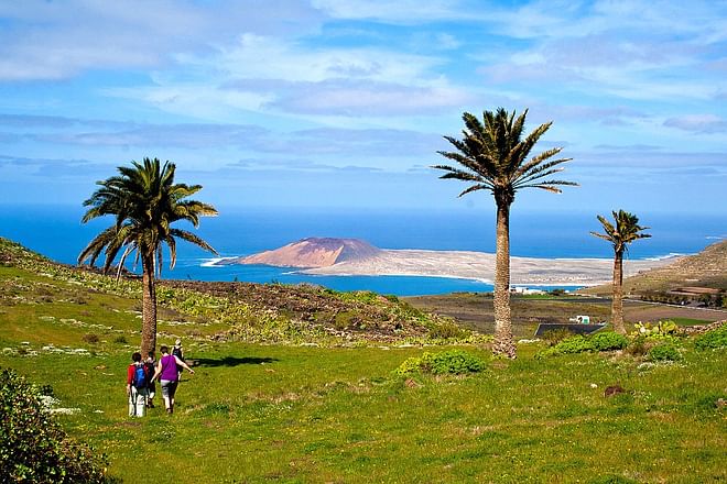
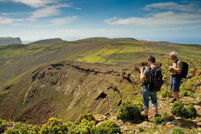
The walk begins in the village of Ye, from where the trail ascends to the crater of La Corona Volcano. Along the way you will see agricultural landscapes mainly dedicated to vine cultivation, as well as extensive malpaís terrain formed by basaltic lava flows. From the eastern side of the crater it is possible to observe the route of the volcanic tube created by this eruption, measuring approximately 7.6 km in length, of which 1.6 km remain submerged today. The eruption occurred during the last Ice Age, when sea level stood more than 90 metres below its current level.
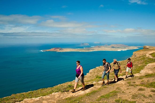
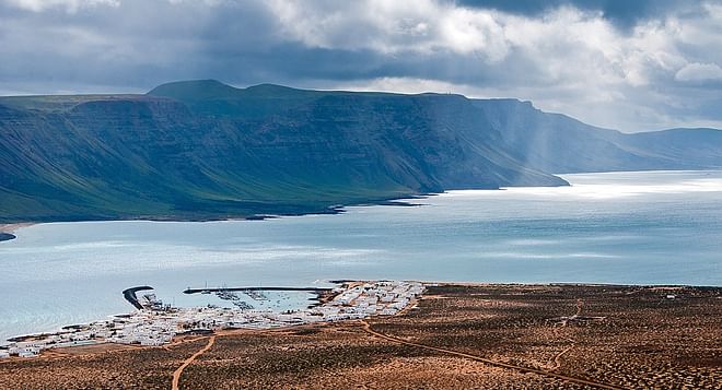
The route then continues across the central area of the Famara cliffs, a geological formation stretching 22 km and rising from sea level to heights of over 500 metres. From here you can see Las Peñas del Chache (670 m), the highest point on the island, along with panoramic views of the Chinijo Archipelago with La Graciosa in the foreground.
The altitude and the influence of the trade winds create favourable conditions for rem


")
")


")
")
")


